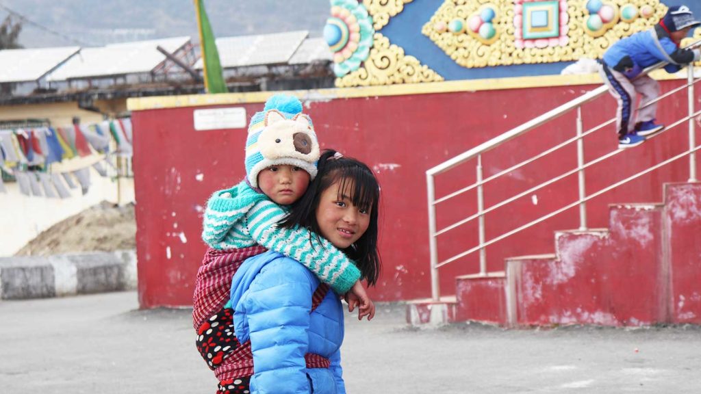
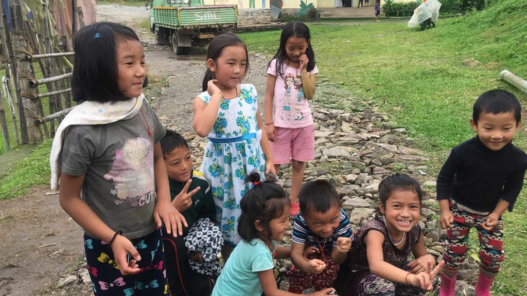
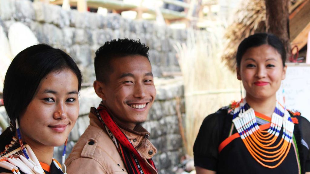
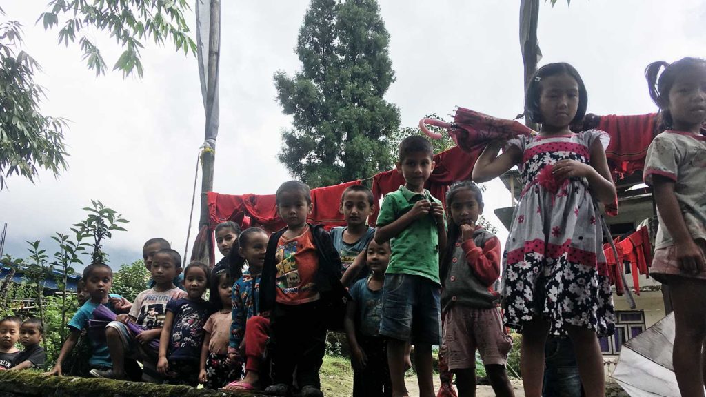
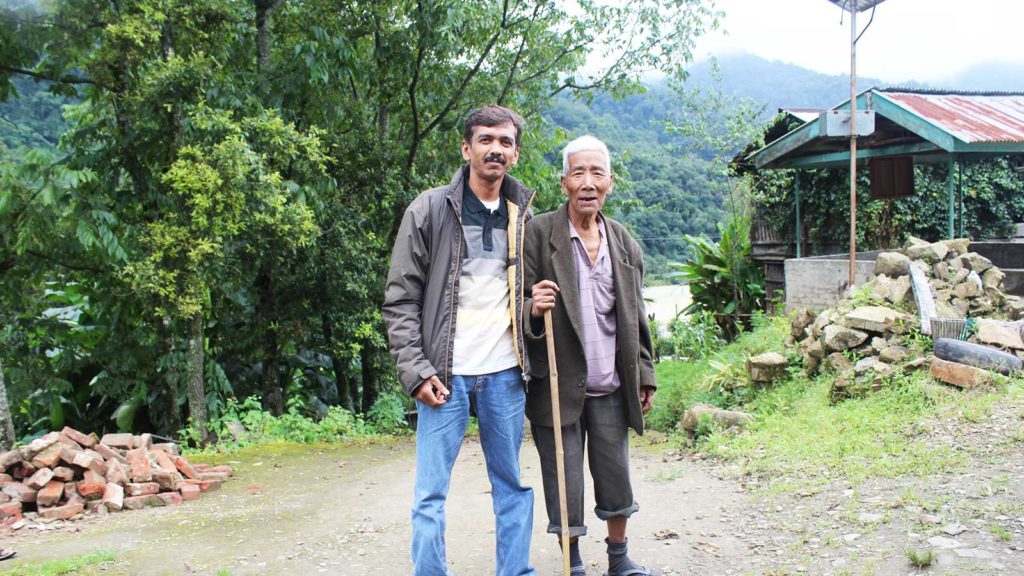
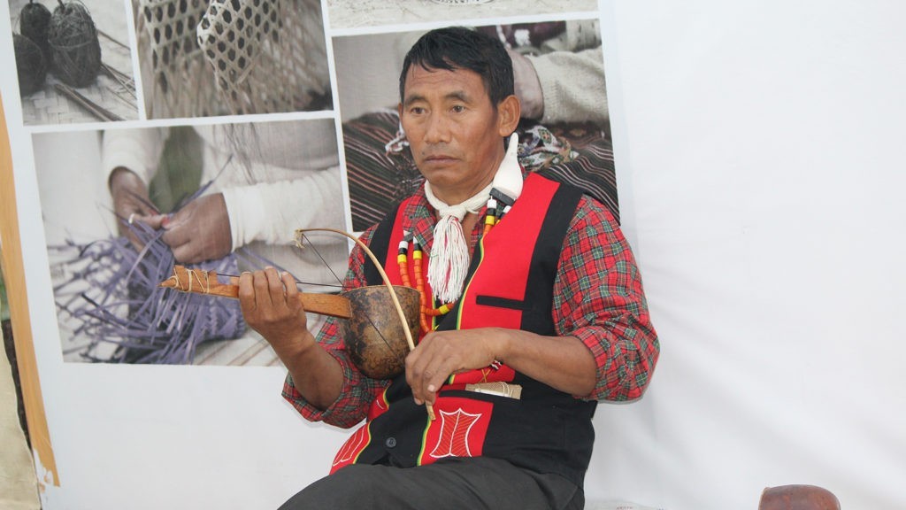
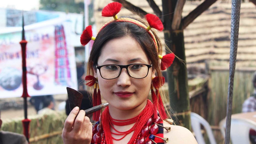
To understand the uniqueness of Northeast India, one has to explore their culture, experience their warm hospitality, & their simple, sustainable ways of living.
People from the Northeast identify themselves as hill people, the plains tribes and the non-tribal populations of the plains.
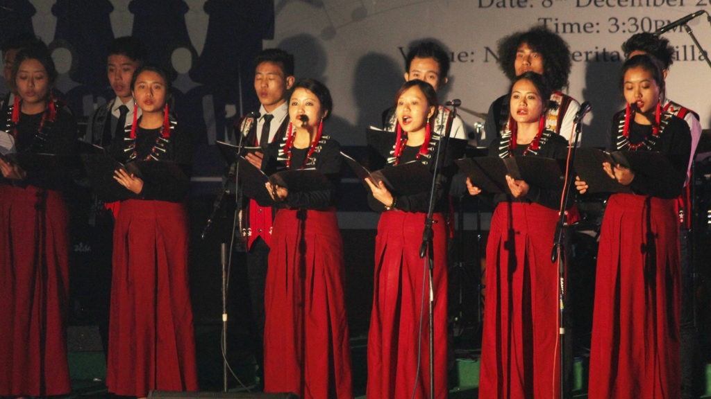
Manipur, Meghalaya, Mizoram, Nagaland and Tripura are the regions where most of the population resides. Majority of them follow the Christian faith, while a smaller percentage, in the plains of Assam, Manipur and Tripura, follow Hinduism and even fewer identify with the Islamic faith.
Physiographically, Northeast India is classified into Eastern Himalaya, the North-eastern hills, and the Brahmaputra and Barak valleys/plains. Arunachal Pradesh, Assam, Manipur, Meghalaya, Mizoram, Nagaland, Tripura, and Sikkim form India’s Northeast region. Its vastly hilly regions account for 70% of the territory.
The states of Nagaland, Arunachal Pradesh, Mizoram, Meghalaya and Sikkim are all located in the hills. Some portions of Assam, Manipur & Tripura are hilly & plain areas. The region shared its International borders with Burma/Myanmar, Bhutan, Bangladesh, Tibet (People’s Republic of China) and Nepal.
Ethno-history suggests enormous ethnic-linguistic links with Southeast Asia, with people from the region immigrating to Northeast India as Mongoloid groups. Colonial rule barred the links of Mongoloid ethnic groups of the Northeast with other parts of Southeast Asia. The Tai-Ahom Assam kingdom established & existed for over six centuries.
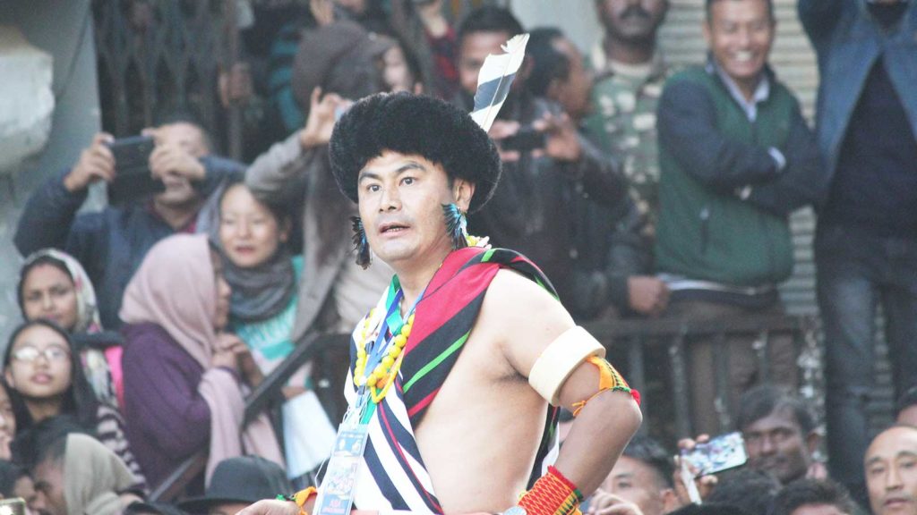
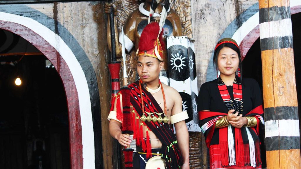
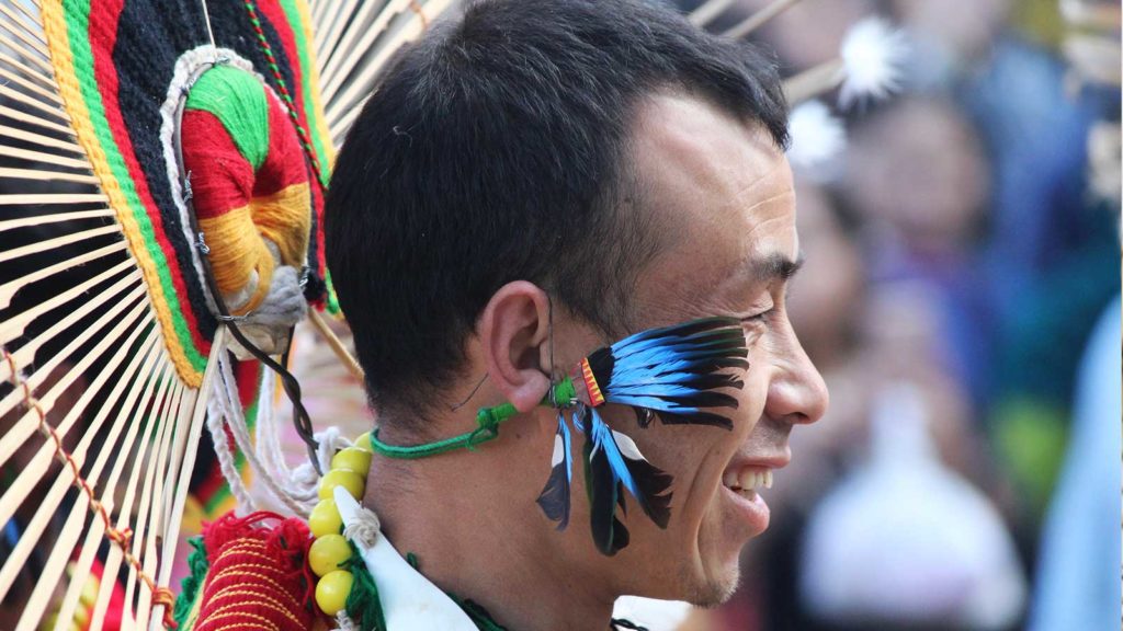
The Meitei kingdom of Manipur existed for ten Centuries. Some of the other kingdoms from the region include Kachari, Ahom, Jaintia, Koch, Tripuri, and Meitei. The people of Mongoloid origin can be grouped into four major groups: the Kuki-Chin-Mizos, Nagas, Khasi-Jintia-Garos and the tribes of Arunachal Pradesh.
Arunachal Pradesh: Formerly the North-East Frontier Agency, Arunachal Pradesh forms the extreme Northeast of India, sharing its borders with Assam, Nagaland, Bhutan, Myanmar & China . The terrain is covered by Himalayas (as high as 7,000 metres/23,000 ft) with many river valleys like Kameng, Subansiri, Siang (Brahmaputra), Dibang, Lohit and Dihing rivers.
The economy is built on agriculture, shifting cultivation, forest produce and hydroelectric potential. The population is known as Tibeto-Burman consisting of Apatani, Monpa, Tani and Mishmi people, in addition to Jingpo, Naga and Lisu populations found in the area bordering Myanmar to the East and Naga people in the area bordering Nagaland in the South.
Assam: Assam covers the plains of the Brahmaputra River, which flows from East to West before entering Bangladesh and turning South. The main ethnic group of the region is Hindu-Assamese with a sizable population of Bengalis and other tribes from the plains (Bodo), hill tribes (Karbi Anglong) from Mizoram.
Manipur: Manipur shares its borders with Myanmar, Nagaland, Assam and Mizoram. Over 90% of the state’s area is mountainous and is covered with forests. The population of Manipur depends primarily on agriculture as their source of livelihood. They are also known for their Handloom weaving cottage industry. The hill tribes of Manipur included Naga tribes, Kuki/Thadou tribe & Mizo tribes. The Meiteis form the major ethnic group.
Meghalaya: Meghalaya used to be a part of Assam till the year 1972, when Garo, Khasi and Jaintia hill districts were formed into the current state of Meghalaya. Meghalaya is the only state formed of more than one district.
Meghalaya shares its borders with Bangladesh & Assam. It receives an average of 12,000 mm (470 in) of rain a year and is counted as the wettest region of India as well as the world. It’s also called the “Scotland of the East”, with abundant subtropical eco forests covering 70% of the state. While English is the official language, other languages spoken here include Khasi, Garo, etc.
Meghalaya is the only state to adhere to the matrilineal system (women inherit property & carry their mother’s name). The economy is mainly dependent on agriculture and the state is geologically rich in minerals.
Mizoram: Mizoram lies between Bangladesh, Myanmar, Tripura , Assam and Manipur. It is a mountainous region. Majority of the population consists of people of diverse tribal origins from Southeast Asia. The state consists of the highest concentration of tribals among all states of India. The term Mizo covers Sinlung, Hmar, Ralte, Lai, Lusei etc.
Nagaland: Nagaland shares its borders with Myanmar, Assam, Arunachal Pradesh and Manipur. Nagaland is mostly a mountainous region and its population consists primarily of Christians (other two are Meghalaya and Mizoram).
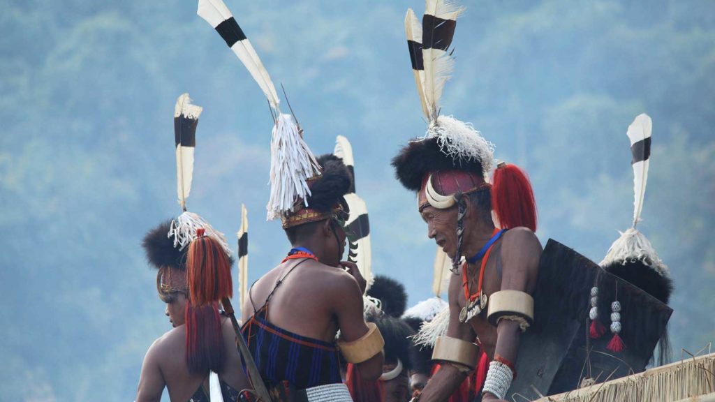
The Nagas are made of 16 different tribes with mutually incomprehensible languages. The tribes are Angami Naga, Ao Naga, Chakhesang Naga, Chang Naga, Khiamniungan, Konyak, Lotha Naga, Phom, Pochury, Rengma Naga, Sangtam Naga, Sumi Naga, Yimchunger, Zeme-Liangmai (Zeliang), Dimasa Kachari and Kuki.
Nagaland is thought to have significant oil resources, however the state agrees to oil extraction under the reassurance that it will not damage the state’s abundant environment.
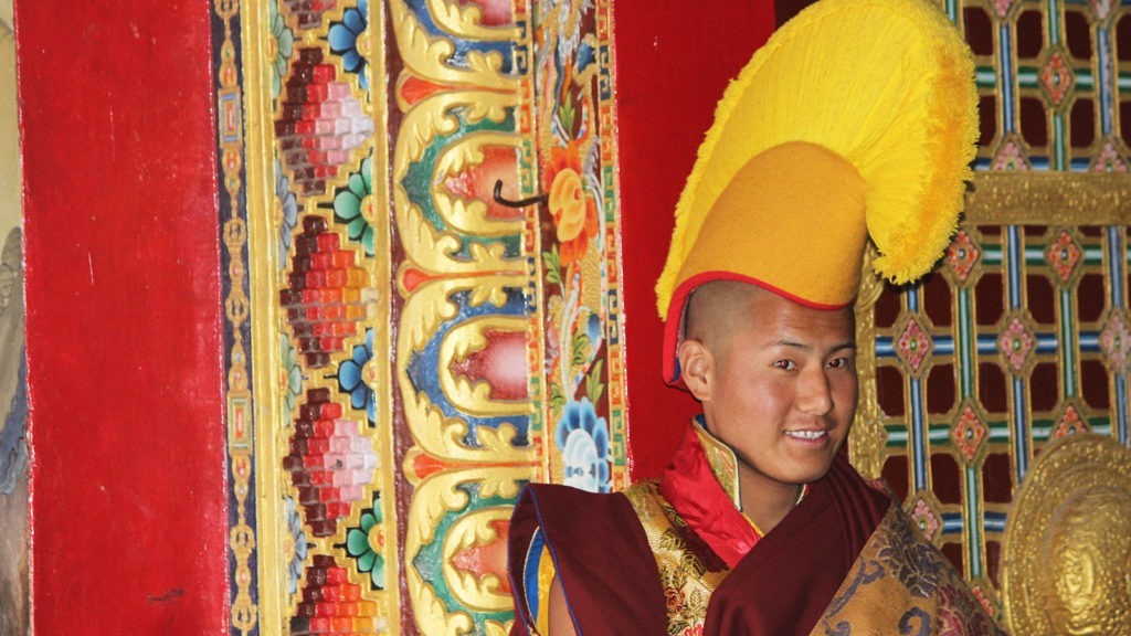
Sikkim: The Namgyal dynasty was ruled by the first Bhutia King of Sikkim before joining the Indian province in the year 1975. The population here comprises of Nepali, Sikkimes Lepcha, Buddhists, and Bhutias who speak English, Nepali, Sikkimese and Lepcha.

The main religion is Hinduism & Buddhism. Sikkim’s economy is based on agriculture & tourism and the scenic mountains attract a lot of tourists. The state has the highest per-capita income among the Northeastern states.

Tripura: Tripura is a princely state, inhabited by indigenous people. However, Hindus and Bengalis outnumber the local populace, which has led to earlier conflicts between the people of Tripura.
